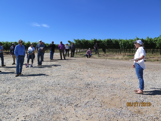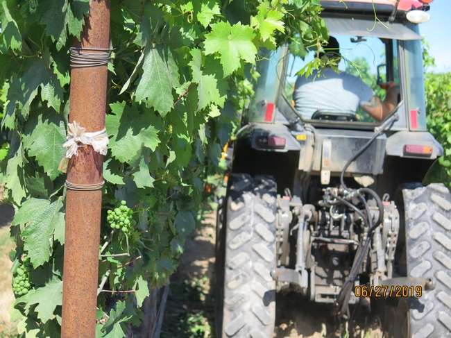
Agriculture today faces a huge challenge in labor shortages. Only recently have foothill growers been looking at investing in mechanical tools to help them get the work done. Last month I held a field day in collaboration with Patrick Tokar, viticulturalist for Rombauer, the same Napa Valley Rombauer that recently acquired the old Renwood winery and tasting room in Amador county. (I have a friend who only drinks Rombauer chardonnay-a classic buttery chard that's been 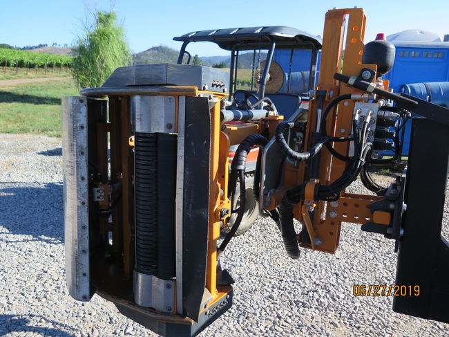
Rombauer's foothill operation, they've been growing Zinfandel in El Dorado county since about 2007, recently acquired a Pellenc "suck and pluck" style of leafer-a machine 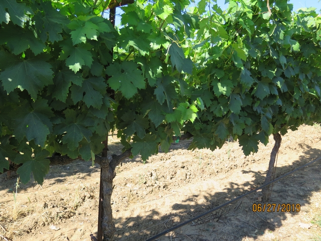
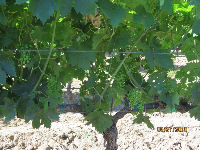
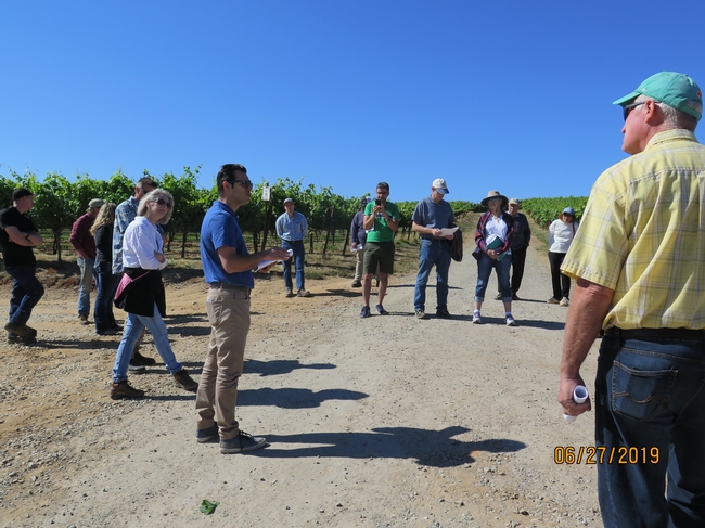
In addition to leafing, Rombauer has been using remote sensing and aerial imaging to help them make decisions on the farm. I invited UCDavis Biological and Agricultural Engineering Specialist Ali Pourezza to explain the fundamentals of remote sensing. Ali is a recent addition to our ANR Specialist group and is a whiz in creating models of virtural orchards and vineyards and using sensing technology to solve agricultural problems (check out his video of our field day on Ali's twitter!).
Ali explained to the group that light behaves in 4 different ways when it interacts with plants: it is reflected (which is easy to measure), absorbed (which can be calculated based on reflection), scattered or transmitted. When using remote sensing, a multi-spectral camera is mounted on either a UAV or a plane, and images taken which give information dependent on the spectral resolution (or band width) of the camera. Models are developed to interpret this information, and, (this is super important), calibrated with accurate ground truth data. The calibration is also critical, and needs to include a "radiometric" calibration-that is, a calibration with the sun's position during the time of imaging (which won't be the same on any given 2 days).
NDVI (normalized digital vegetation index), is the most common and uses near-infrared to red light wavelengths in a scale to tell if green (healthy) vegetation is present or not. Ali said that NDVI values below 0.1 indicate no vegetation, 0.2-0.5 indicate sparse vegetation, and 0.6-0.9 indicate healthy vegetation. Other, more advanced indices use other spectral bands, such as NDRE or "red edge". Ali has been doing some research on using hyper-spectral (thousands of bands!) imaging to detect N2 (nitrogen) deficiency in vineyards. Working with Viticulture Specialist Matthew Fidelibus, who ground-truths the sensing data by taking vine petioles for nutritional analysis, Ali is developing a model to predict 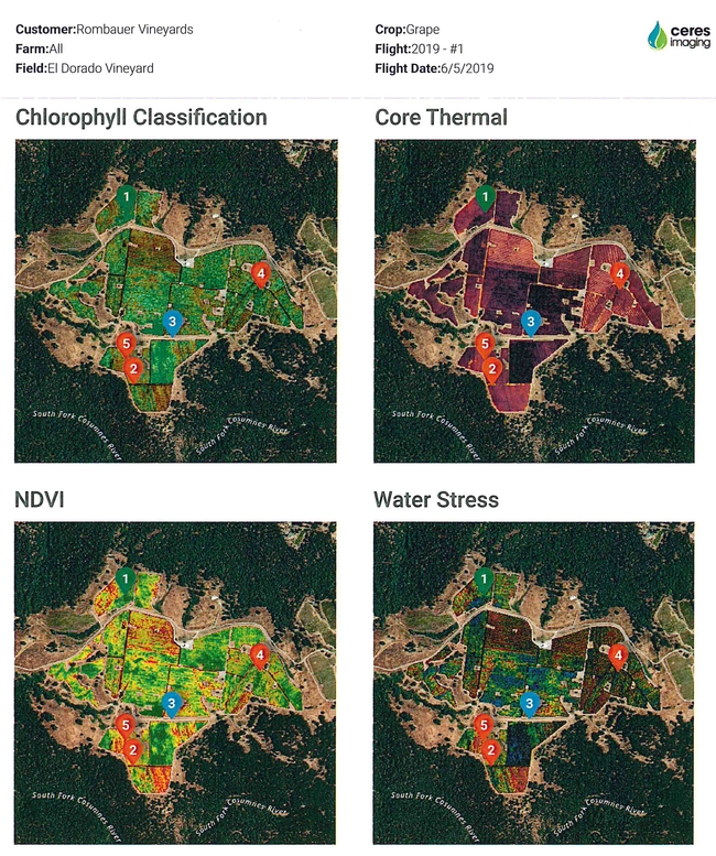
Rombauer is using Ceres Imaging to do their sensing and Jenna Rodriguez (one of our own UCDavis grads now working for Ceres) also spoke at my field day. After Ali's technical "nuts and bolts" talk, Jenna explained how her company uses remote sensing and modeling to interpret the images provided to clients such as Rombauer. For example, a blue line on a thermal imaging map was interpreted to be a leaky irrigation pipe. Low chlorophyll in one area of the vineyard could possibly be soil related.
The tools of precision agriculture and remote sensing can save labor and help pinpoint the need for applications such as fertilizer. Yet, there's no replacement for "keeping one foot in the furrow", as the late J.C. Walker of UW-Madison, my alma matter, used to say. Until next time...
Attached Images:
