Rainfall totals top 50 inches in some foothill areas!

Feb 17, 2017

Rainfall totals top 50 inches in some foothill areas!

Feb 17, 2017

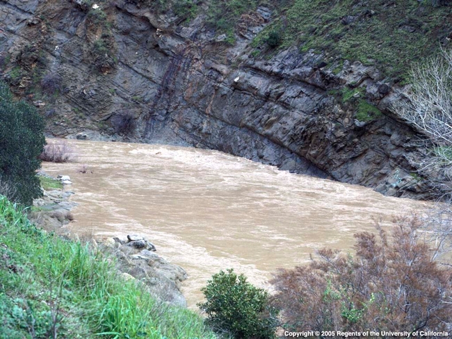
Brown muddy water flowing from a raging river
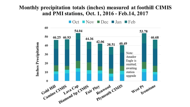
Hi Fodder Followers! Is everyone safely afloat out there?  I've just finished totaling the current "hydro year" precipitation totals for our 7 (yes, we now have 7!) powdery mildew stations and 3 CIMIS stations.  (Note: The Amador Eagle station is awaiting an upgrade, so that station's data is not included.)

The "hydrological year", also called a "water year", is a term hydrologists and water resource managers use to describe the period from Oct. 1 of a given year to Sept.30 of the following year.  Thus, the hydro year is meant to include fall rainfall with dormant season rains that may impact the soil water holding capacity and total rainfall for crops emerging the following spring.

The stations are located across El Dorado, Amador, and Calaveras counties and give us a good picture of the rainfall totals across the region.  And the winner is....the Lava Cap station located in Camino has recorded the highest rainfall amount to date, 54.04 inches; closely followed by our newest addition to the network, the West Point station at 53.78 inches!
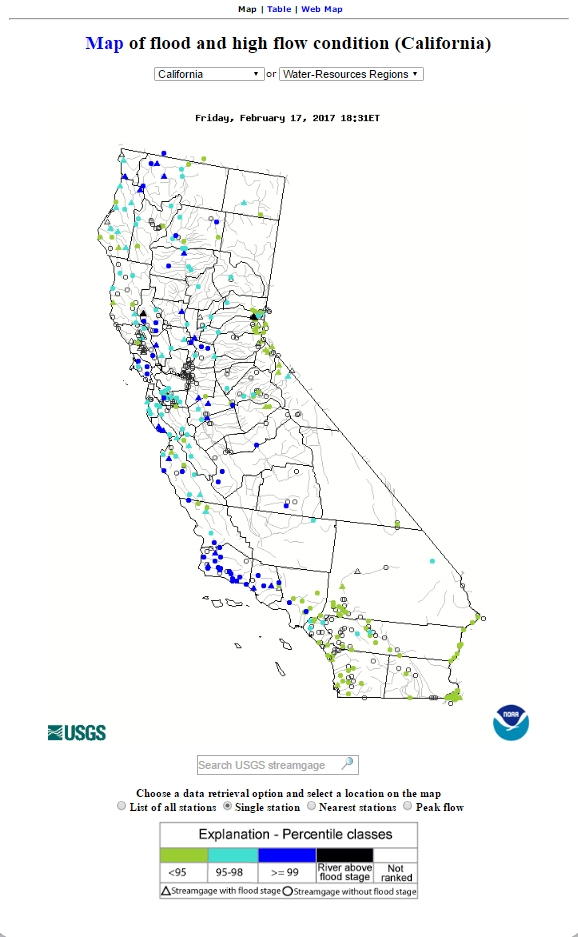


For those of you who are interested in "real time" stream flow, flooding and other water data, the USGS has a wonderful website called "Water Watch"-click here to access maps by state or region.  Below is an example of the real time Ca. flood mappostedonUSGS's Water Watch site.
Map of flooding locations in CA. by USGS.
And a real time stream flow map.  Pretty cool, heh? Thank you to our national US Geologic Survey team!
USGS real tiime stream flow map


By Lynn Wunderlich
Author - Farm Advisor